Maps and video
Maps and video
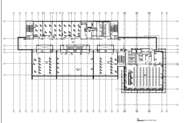
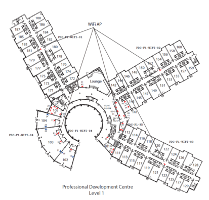
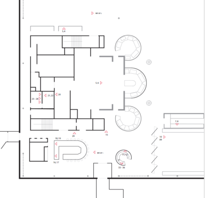
The maps, in PDF format, show all the areas available for the competition relative to tracks 1 & 2, as detailed in the included README file. The georeferenced maps include the official coordinates to use for the competition's on-site tracks, as detailed in the contained README file.
Competitors in track 1 should not rely on the locations of access points on the maps: this is old information, so do not count on them: you should survey the area by yourselves.
Our meeting will be in KCCI (1st and 3rd floor rooms as well as the lobby/stairs on all three floors) in the three larger rooms on the left (bottom) of the plan. Our hotel rooms/hallways are in PDC levels 1 to 3. We will be eating in SBB Level 4.
The whole are can be viewed on Google maps: note that the satellite photos are older than the current situation, for example the central building still appears in construction.
Some examples of maps


Path
As a general indication of what a path may look like, the actor starts inside one of the buildings, goes on along the corridors and possibly rooms, then changes floor, walks again along corridors and possibly rooms, then possibly moves to a different building and does the same there. You can expect a total lenght of 300-600 m and a total walking time of 10-20 min. This is a rough descriptions which is only intended to give you a flavour of what a path may look like.
A video showing a simulation of the measurement process during the competition:

